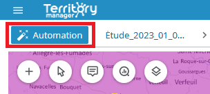
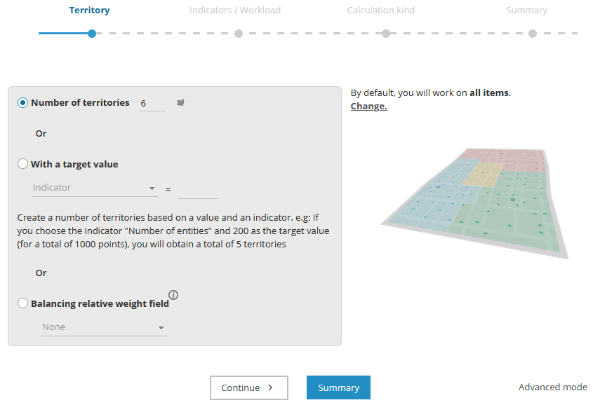
The automation assistant enabled is the default setting.
-
From the Districting page, click on

-
Select your preferred districting method

- Click on
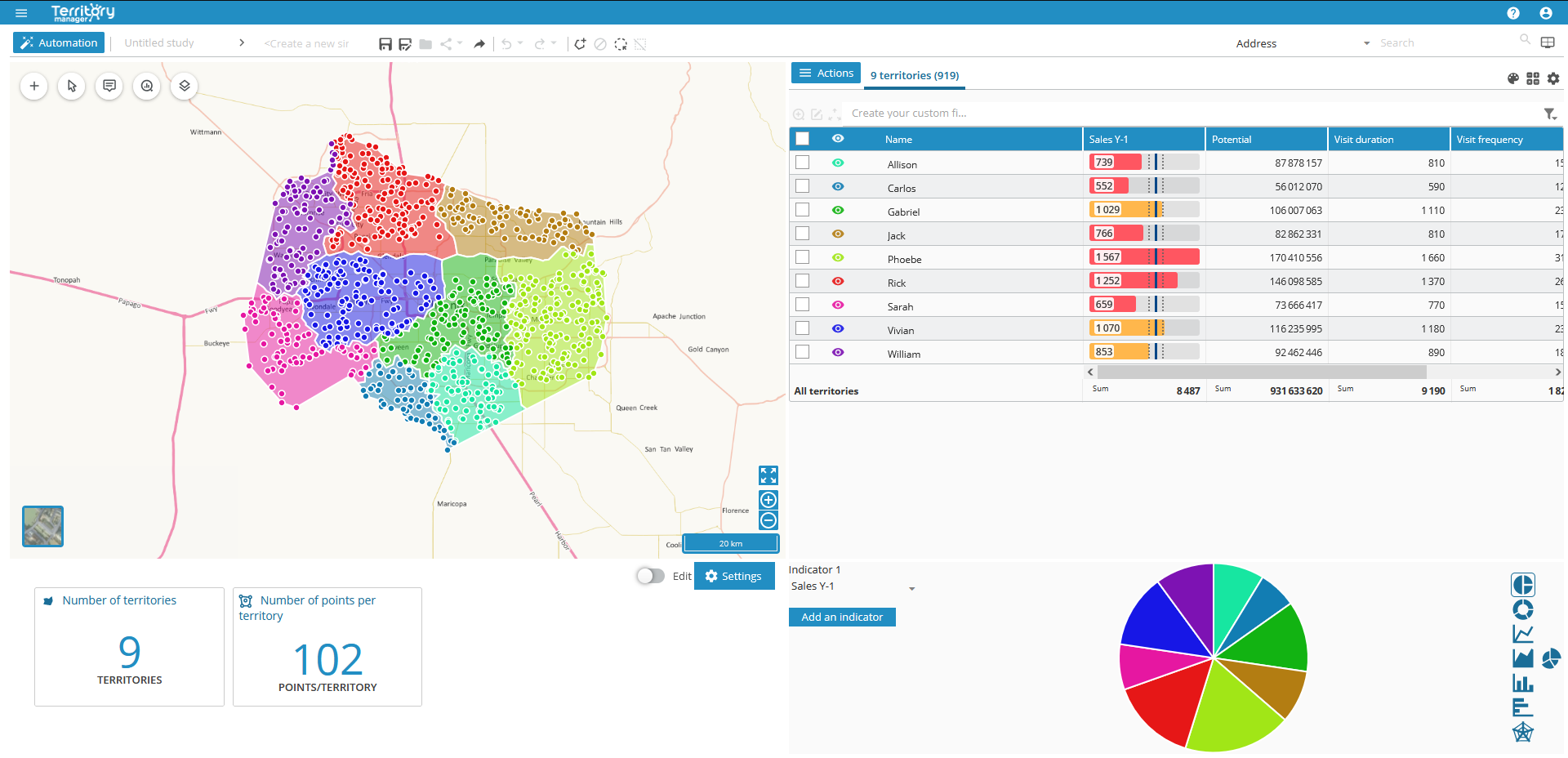
The interface in the Districting page of Territory Manager is made up of four main panes: map, table, graphs, key indicators (KPI), with a toolbar and a main menu above.

Accessible via the menu icon ![]()
|
Home page |
|
|
New analysis |
|
|
List of analyses |
|
|
Saved simulations |
|
|
Compare simulation |
|
|
Save |
|
|
Save a copy |
|
|
Edit (rename the simulation) |
|
|
Sharing link |
|
|
Export |
|
Once the initial districting has been performed, you can add to it using the Import sites, resources icon ![]()
- Geographic objects (points or polygons)
- Sites
- Resources
| Additions | Pre-requirements | Import result |
|---|---|---|
|
Points |
Automatic districting on points |
These objects will be added to those already present in the districting page. |
|
Entities |
Automatic districting on geographic zones |
|
|
Sites |
Automatic districting on points or |
Sites integrated: |
|
Territories |
Import of sites |
Several territories can be associated with a single site. Sectorization then creates as many sub-sectors per site. The color of these sub-sectors is chosen according to the color of the site. |
|
Layer |
Automatic districting on points or |
Layer objects are not selectable. See chapter Manage layers. |
See Import data / Pre-requirements for information on file and data formats.

