- Once you have set up all your field associations, click on
![[Note]](images/community/docbook/note.png) |
Note |
|---|---|
|
Geocoding will happen automatically unless you already have geographic coordinates for your points; in this case, there will be no geocoding phase. By default, geocoding produces X/Y coordinates in WGS84 format. |
Depending on the type of information available in the import file, geocoding can be applied on address, street, or town.
To achieve the best possible results, you will need to have the address, Post Code, and town in 3 different columns.
| Level | Available information |
|---|---|
|
Nearest number |
Street number |
|
Street |
Street type |
|
Town |
Postal code or Town name |
|
Non-gecoded |
None |
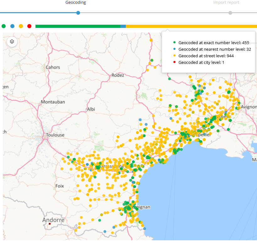
In the geocoding report, the level of geocoding is indicated by colour coding to show the level and quality of geocoding applied.

![[Note]](images/community/docbook/note.png) |
Note |
|---|---|
|
You can click on the colored dots to filter the addresses in the table according to geocoding quality. |
- On the geocoding screen, in the list of points, select the one to correct
- Complete the address
- Click on Search
- Optionally, click on Google Maps or Compare with… to display a photo of the address in another tab.
- Click on Select

