To verify that the installation of the application is operational, you can try viewing a layer of data generated by a Geoconcept map. If the geographic layer displays correctly, the configuration of the application can be considered as successful.
To perform this verification, you need to create a layer in Geoconcept Web. Do this via the sub-menu found in the tab, and the menu.
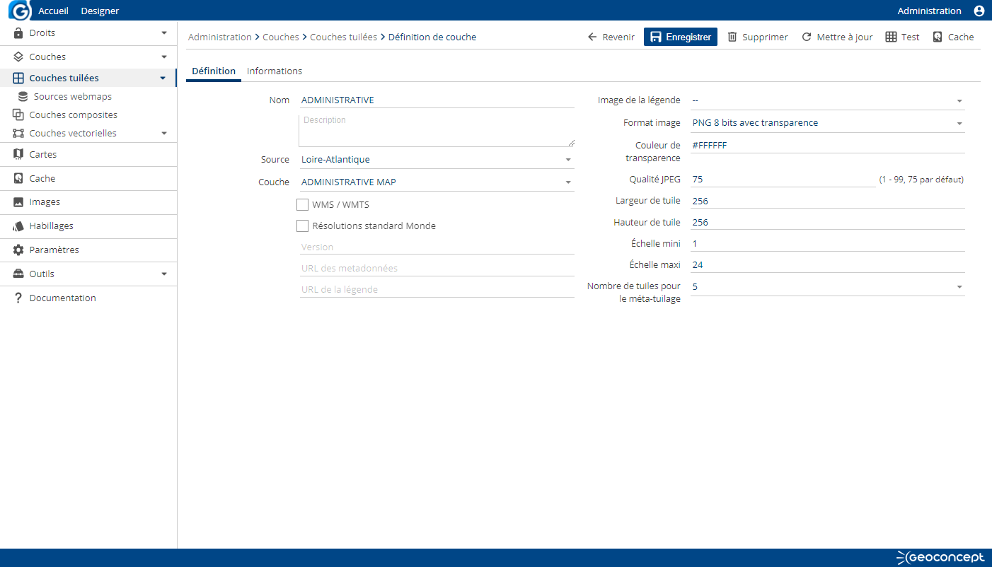
When you click on the button, you should fill in the following fields in the Definition tab.
- Name,
- Map: drop-down menu enabling choice of a Geoconcept map in a list of maps available via Geoconcept Web Map.
- Tab: drop-down menu enabling choice of a view tab sourced by the Geoconcept map,
- Map projection system: supply the EPSG code for the map,
- Image format: choice of the image format for tiles that will be generated.
In the Information tab, certain information relating to the map and the view tab chosen appear and cannot be modified.
These items of information are: the projection system, the precision / the map units / the min and max X and Y coordinates.
Validate next by clicking on .
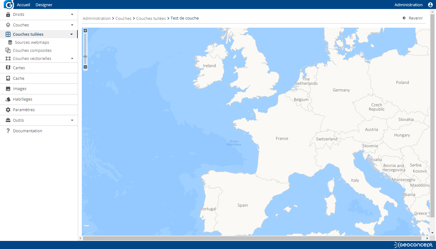
Go back into the newly created layer’s parameters, click on the button, and a preview of the Geoconcept map displays on the screen.


